3D laser scanning
Capture buildings and surrounding spaces as a detailed point cloud, giving your design team a digital record of existing conditions.
3D laser scanning · North West
Turn your building or site into clear, usable survey data. 3D laser scanning, measured surveys and CAD drawings for your next project.
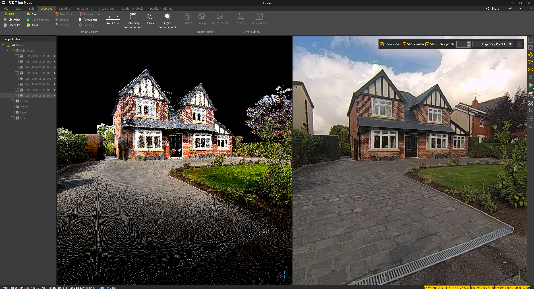
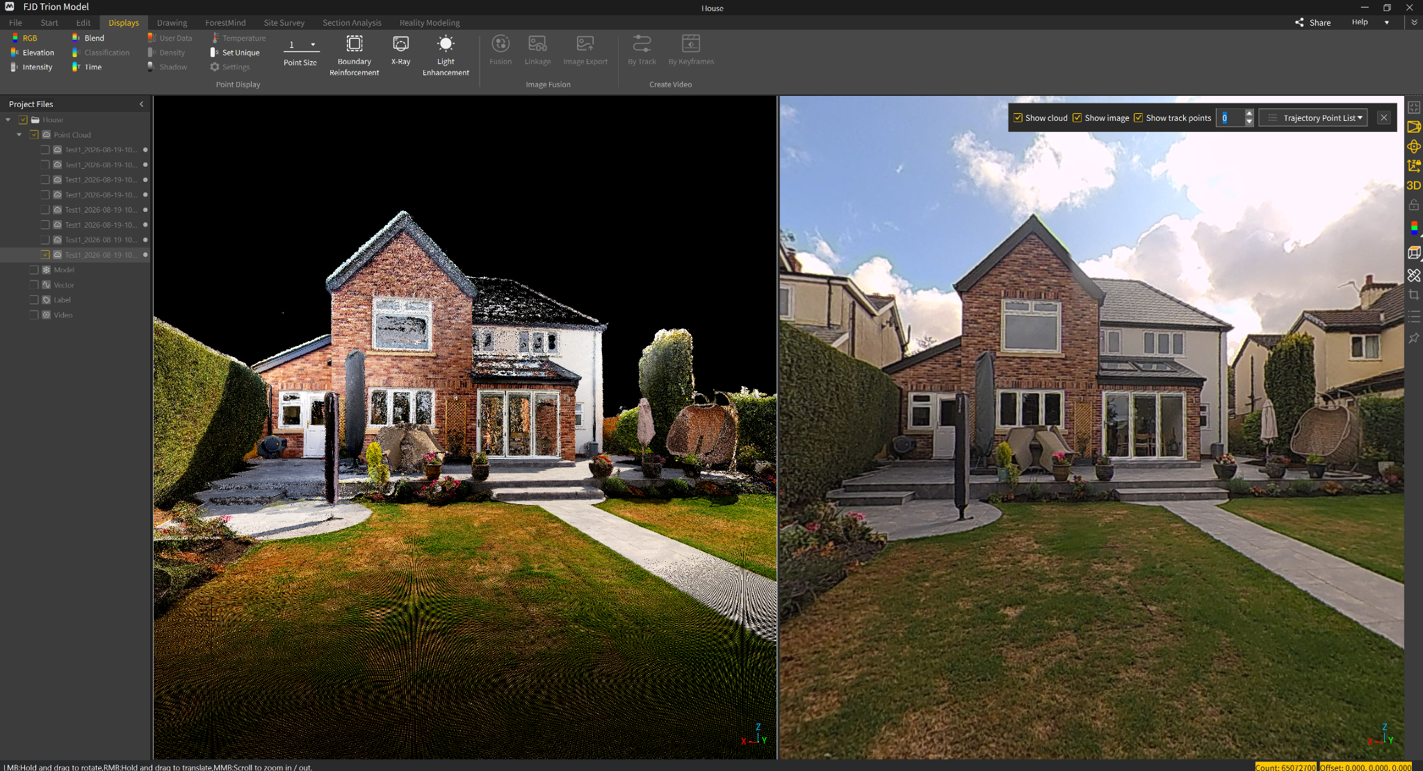
See scanning in action
01 / What we do
Practical survey information for architects, designers, contractors and property owners. We agree the detail and deliverables around what your project needs.
Capture buildings and surrounding spaces as a detailed point cloud, giving your design team a digital record of existing conditions.
Record existing layouts and dimensions to support refurbishments, extensions, space planning and design development.
Bring survey information into your workflow with floor plans, elevations, sections and 3D visuals, prepared to an agreed brief.
02 / A straightforward approach
Speak directly with the team, from the initial brief through to your finished survey information.
Share the location, approximate size and purpose of your project. We'll agree the scope, outputs and a quote.
Arrange a suitable visit to scan and survey the areas required, with access and site arrangements agreed beforehand.
Receive the agreed point cloud, drawings or visuals, with a handover so you know what you have and how to use it.
03 / Let's talk
Whether you need a scan of an existing building or drawings to get a project moving, let's talk through the details.